May 26, 2021
Driving the backroads of Nagoya
Even though Nagoya and the greater Chubu region of central Japan comprise the country’s third-biggest metropolitan area, it isn’t the most public transport-oriented compared with its Osaka and Tokyo counterparts. The reasoning is straightforward; before about 1920, there wasn’t much to the city except a few stations on the important Tokaido road linking Kyoto and Edo (now Tokyo). The turn of the 20th Century brought rapid industrialization to the region, and Nagoya became Japan’s factory for building almost anything that involved mechanization. But then World War II put a gigantic fly into the ointment, and almost every structure in the area was bombed flat over three years. Unlike the other two aforementioned areas, the vast majority of Nagoya’s economy was centered around manufacturing. In the war-time era preceding, this meant most of the factories were churning out planes, ships, and munitions– prime targets for Allied bombing runs. So pretty much everything that is seen in the area these days is all postwar construction, including the street grid itself.
Rebuilt for the Automobile
With the heady postwar reconstruction economy turning into the miracle bubble of the 1970s and ‘80s, Nagoya kept its “factory megacity” image, and companies like Toyota, Mitsubishi, Nippon Sharyo, Daihatsu, Subaru, and more were churning out products. At the same time, the workers themselves now had good “lifetime” incomes. A combination of this, along with lower land prices than other major Japanese cities, a booming construction sector, and lax zoning, conspired to give Nagoya its almost American-like sprawl that is very unlike most cities here. The roads are wider, straighter, and sit on a grid pattern. Hey, no wonder Los Angeles and Nagoya are sister cities!
Parallel Universe

Because of this grid and relative flatness of most of the area, Nagoya is pretty easy to navigate, especially if you are behind the wheel of a kei-jidōsha mini car or motorbike. Big streets like Hirokoji and Otsu-dori have many parallel side streets that you can take if you follow “navi-chan,” especially if you’re piloting a small car. You definitely cannot do this in “spaghetti-art-project-as-a-map” and “not-narrow-streets-but-wide-hallways” Tokyo. Even if only a small scooter/moped, having motorized transportation makes sense in Nagoya if you plan on staying here long enough.
Riverside Drive

All kinds of rivers and canals crisscross Nagoya, and with it, there are the teibō-michi roads built alongside or on top of the protective levees. A perfect example of this is seen alongside the Shonai River, cutting an east-west path in the northern part of town. When I lived around Motoyama in the central-east part of the city and needed to do something west of Nagoya station, it was always much quicker for me to jog north to route 202 alongside the river and follow it east got to the westside and then journey to my destination. It’s also filled with good views of the park and skyline as well.
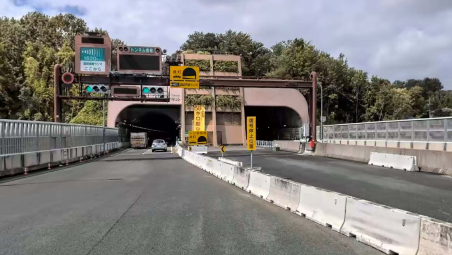
Highways and Byways

Even though the nearby Tomei Expressway has been cutting a slanted path through the eastern and northern sections of the region since the late 1960s, the vast majority of Nagoya’s expressway system actually didn’t get constructed until the 1990s and beyond! In fact, several sections are only now being completed in the last 10 years, making it one of Japan’s newest urban expressway facilities. For example, Egawa-sen, the boulevard heading due south from Nagoya station to the Meikō harbor area, has an elevated metropolitan tollway built around 2011. (I know because I moved off that street when they started building it!). The newest stretch of highway is the southwestern leg of the C2 Nikkan Expressway, which now forms a complete middle ring around the city. (There’s an inner lool (C1) and outer loop (C3) already.) Of course, to take advantage of the expressways, make sure you have an ETC card and equipment installed, so you don’t have to fool with change at the tollbooths.
Images via Google Maps and Apple Maps.
Jason Gatewood subscriber
Our Tokyo based collaborator is a tech nerd, Japanophile, train nut, and a veritable fountain of information on Japan. His current goal is to watch Evangelion and actually "get it", sing every permutation of "Hotel California" at any karaoke gathering, ride every bullet train line, and sample all varieties of ramen throughout Japan. Catch more of his musings at · http://jlgatewood.com
About the author